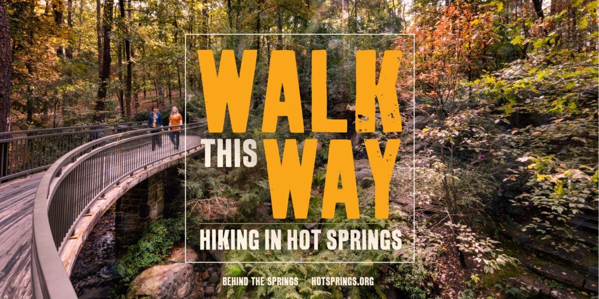
Located just minutes from downtown on a large swath of city-owned property, the Hot Springs Northwoods Trail System has been garnering a lot of national attention among mountain bikers, but it’s also a great hiking destination. Designed and built by the International Mountain Bicycling Association (IMBA), the scenic trail system is located on some 2,000 rolling acres with lake views, towering trees, and wildlife. The Water Works Trailhead, located on Pineland Drive, is just two miles from downtown. “It’s a wonderful hike and it’s really close to downtown, ” Kuhn said. “I like that. You can go for a hike and then have a beer.” There are currently 16 miles of trails (out of a planned 44). Some are bike-use only but the trails are well marked and detailed maps are available here. For a more urban experience, check out the Hot Springs Creek Greenway Trail. A nice leisurely stroll, it takes you through parts of town you might not otherwise see. The 12-foot-wide, ADA accessible pathway stretches 2.7 miles from the Hot Springs Transportation Depot to its current termination, just past Golf Links Road. It passes by the city’s farmer’s market pavilion, a skate park, ballfields, and Hollywood Park, with picnic tables, a pavilion, and a whimsical playground. The trail meanders alongside Hot Springs Creek, a historic corridor that was used by Native Americans who traveled the banks to reach the thermal springs in what is now downtown Hot Springs. The trail features sculptures, a butterfly garden, scenic overlooks and informational signs along the way. Upon its completion, the trail will terminate at a wetlands park, where the creek empties into Lake Hamilton, for a total of 4.2 miles. T ake a stroll through Garvan Woodland Gardens on the southeast side of town and you’ll feel like you’ve walked into an enchanted forest. A 210-acre botanical garden, it features 4.5 miles of trails, including a 1.7-mile loop trail through a nature preserve. Located on the eastern shore of Lake Hamilton, the preserve offers beautiful views of the lake and is a great spot for birdwatching.
Hot Springs National Park
Headquartered in the heart of downtown, Hot Springs National Park is home to 26 miles of trails that meander through the mountains surrounding the valley town. While the majority are relatively short, many are interconnected so you can create longer hikes and loops. The trails are well marked and maps are available online and at the Hot Springs National Park Visitors Center in the Fordyce Bathhouse. “When most folks think of hiking in a National Park, they are thinking about backcountry hiking and to do that most places require a permit,” said Park Guide Nalissala Allen. No permit is required to hike in Hot Springs National Park and the trails range from easy to strenuous, allowing visitors to hike at their own comfort levels. “We call it “HIKING” but really it is walking with elevation,” Allen said. “You still need to wear comfortable shoes and take plenty of water with you but that is just good hiking sense.” The Grand Promenade, a wide brick pathway running behind Bathhouse Row, provides access to several trails on Hot Springs and North Mountains, including the Peak Trail (0.6 miles) which leads to the Hot Springs Mountain Tower where you can enjoy 360-degree, panoramic views of Hot Springs. Goat Rock Trail (1.1 miles) is another popular hike and one that Kuhn lists among her local favorites. There is a trailhead at the overlook on North Mountain but, if you’re up for a longer hike, Goat Rock can be reached via connecting trails from downtown or the Gulpha Gorge Campground. At approximately 10 miles, the Sunset Trail is the longest in the park and can be combined with other trails to create a strenuous 15-17 mile loop hike, according to the park’s website. Allen said the Stonebridge section of the Sunset Trail is her favorite trail in the park. Located just north of downtown, this stretch parallels Stonebridge Road and features a picturesque setting with a large pond, a stone bridge, and an old water wheel. “Here I can hike and feel like I have left the world behind,” Allen said. “As you walk past the pond and start on the Sunset trail you can hear the pileated woodpeckers singing to one another and sometimes if you find a nice place to sit, you can see them flying through the trees like tiny jet fighters. Walking in the valley, you can no longer hear the cars in the distance. This is a great place to recharge and get focus on the things that are important to you.” Park at the Gulpha Gorge Campground and hike from there or, for a shorter hike, park at Desoto Park on Highway 7, and pick up the trail where it crosses the highway.
Ouachita National Forest
Bordering Hot Springs is the Ouachita National Forest, a 1.8-million-acre swath of land covering west-central Arkansas and eastern Oklahoma. An outdoor recreational playground, it is home to over 50 trails. The longest is the Ouachita National Recreation Trail, which stretches 192 miles from Talimena State Park in Oklahoma to Perryville, Arkansas. (It continues another 32 miles outside of the national forest to Pinnacle Mountain State Park.) The eastern end of the trail is easily accessible from Hot Springs and features some of the prettiest sections of the trail, said Robin Wolf, a Forester with the Jessieville-Winona-Fourche Ranger District. (The district office is located about 30 minutes north of Hot Springs in Jessieville.) To get a taste of the Ouachita Trail, Wolf recommends parking at the trailhead on Highway 9 and heading west. The trail follows a creek and is especially pretty in the spring when the wildflowers are in bloom, she said. If you’re looking to do some backpacking, consider the 30-mile section between the trailheads on Highway 7 and Highway 9 north of Hot Springs. This stretch is a favorite of Jim Gifford, a volunteer with the Friends of the Ouachita Trail (FoOT), a nonprofit organization that helps maintain the Ouachita Trail. He recommends this section to people looking for a good three-day hike. District of the Ouachita National Forest, which is also relatively close to Hot Springs. The 36-mile Lake Ouachita Vista Trail (LOViT) is an IMBA Epic trail that’s popular with mountain bikers and hikers. It is located along the southern shore of Lake Ouachita and offers some pretty amazing views of the lake.
Lake Ouachita State Park
Located about 30 minutes northwest of downtown Hot Springs, Lake Ouachita State Park is situated along the eastern shore of Lake Ouachita, the largest lake located entirely within the state of Arkansas. The park offers camping and cabin rentals, interpretive programs and free day-use areas with swim beaches and a marina. It also boasts a really great day hike: The Caddo Bend Trail, a four-mile, strenuous hike with great views of the lake.
Lake Catherine State Parks
Like Lake Ouachita, Lake Catherine is the result of dams built along the Ouachita River. It is the smallest of the area lakes but it is also home to a nice state park along its shores with camping, a marina, and great hiking. A family favorite is the Falls Branch Trail, a moderate two-mile trail that leads to a seasonal waterfall measuring 12-15 feet tall. It’s a nice summertime hike because you can cool off in the swimming hole at the base of the waterfall before finishing the loop. The trailhead is located at the south end of the park, near the amphitheater. For a longer hike with scenic vistas, check out Horseshoe Mountain Trail, a moderate, 3.5 miles that wind through the forest and over novaculite glades along the ridge of Horseshoe Mountain Trail.
Whether you’re looking for a leisurely stroll or a multi-day, backcountry excursion, you’ll find it in and around Hot Springs… And there’s no better place to finish your journey than the Spa City, where you can soothe sore muscles with a hot soak in the thermal baths or toast your trek with a cold, locally- brewed craft beer. Happy trails!
Reprint from: Hot Springs Advertising & Promotion Commission , web site.
The post Hiking in Hot Springs, Arkansas appeared first on The Gables Inn Bed & Breakfast.


